
Clemmons Postal Coverage
Postal geography is useful only when its certainty is stated plainly. The official Forsyth GIS ZIP layer and USPS information support 27012 as the primary verified ZIP for Clemmons. It covers the village and Clemmons-area postal addresses documented by those sources. County GIS also displays many neighboring postal areas, but a value in that regional layer does not establish service to an incorporated-village address. Use USPS for the particular street number, then retain the postal result with, not instead of, the parcel and municipal record.
| ZIP | Areas covered | Post office | Notes |
|---|---|---|---|
| 27012 | Clemmons village and Clemmons-area postal addresses documented by USPS and Forsyth GIS | Clemmons Post Office, 3630 Clemmons Road, Clemmons NC 27012-9998 | Primary verified ZIP for Clemmons |
| 27103 | Adjacent southwest Winston-Salem and Forsyth postal geography in county map context | Winston-Salem postal area | Exact Clemmons delivery coverage was not established; verify each address with USPS |
| Other regional values | Forsyth and nearby ZIPs listed in the county GIS legend | County map-layer context only | Do not assign them to a Clemmons address without an address-level postal result |
The Forsyth ZIP feature service supplies the county map context behind the verified primary entry.
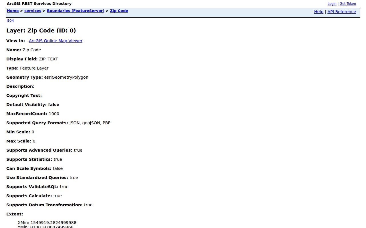
The GIS layer is valuable for regional orientation, but USPS remains the address-level authority for a delivery ZIP.
Clemmons Postal Entry: 27012
For an address described simply as Clemmons, begin with 27012 because it is the primary documented postal ZIP. That does not mean every edge parcel within or near the village must have that result. A mailing city can include territory outside the incorporated village, and a village-edge address can use a different postal city or postal number. The ZIP identifies a delivery geography, while Clemmons village status comes from municipal boundaries and county records.
USPS identifies the Clemmons location at 3630 Clemmons Road, Clemmons NC 27012-9998. That location confirms the documented postal center, not the delivery result for every nearby street. Store a postal result as one field in a record trail, alongside the street address and the county parcel information.
Use the USPS Clemmons location record when confirming the primary post office.
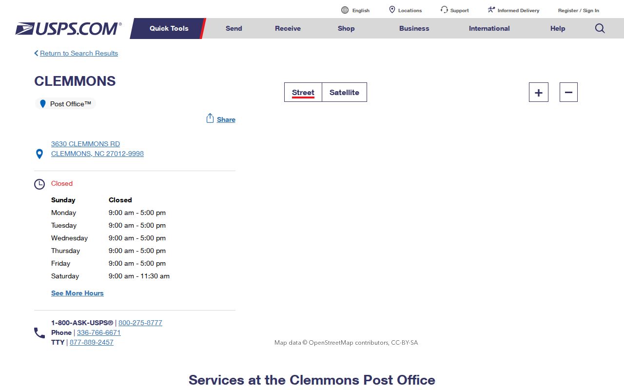
The location display supports the Clemmons postal context, while a separate address lookup resolves the ZIP for a particular delivery point.
USPS Postal Tools for Clemmons
The USPS postal lookup provides three distinct modes. Choose the mode that matches the information already in hand. A full delivery address is strongest when a parcel or old correspondence is involved. City-and-state search is useful for broad postal context, and cities-by-ZIP works in the reverse direction. USPS results answer a postal question, not a village-boundary or property-ownership question.
| USPS mode | Fields supported | Button | Best use |
|---|---|---|---|
| By Address | Corporate or residential street address, city, and state | Find by Address | Verify one delivery address |
| By City and State | City and state | Find by City & State | Check postal information for a named place |
| Cities by ZIP | ZIP | Find Cities by ZIP | See postal city information from a known number |
The USPS lookup has FAQs and Go To controls as well. It does not publish a research-confirmed, exhaustive list of all delivery ZIPs within the incorporated village. The research therefore supports 27012 as the primary documented result and directs each disputed or edge address back to the By Address mode.
Start with the USPS lookup screen for an individual delivery check.
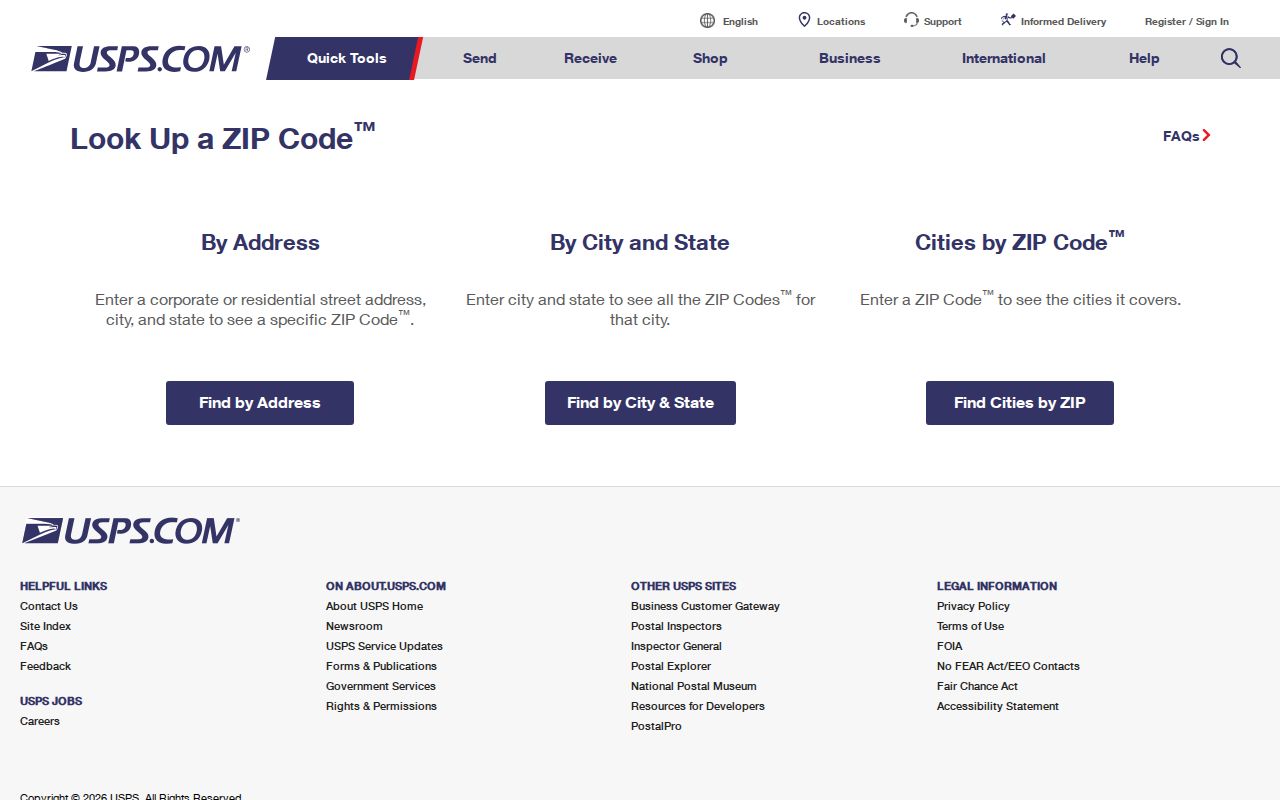
A postal response is current-address evidence only. It should be saved with the full address used in the search so the result can be checked again later.
Search Clemmons Postal Records by ZIP
ZIP is a practical narrowing tool, but the county’s person and parcel systems are not all ZIP-search systems. Forsyth tax and GIS tools support an official address, parcel number, REID, block and lot, owner name, and spatial selection. Their documented controls do not advertise a simple USPS ZIP filter. The voter lookup offers County, not ZIP. The deed index is keyed to names, dates, categories, book or page information, and legal description rather than postal geography.
- Use USPS By Address to confirm the delivery ZIP for the exact street number.
- Search the Forsyth property search by official address, owner, REID, or PIN, then record situs and mailing information separately.
- Open the Forsyth Tax Parcel Viewer for the parcel, map layers, or a geographic selection.
- Use the voter search only after a person is identified. Its county field can narrow to Forsyth, but it does not offer a confirmed ZIP control.
- For a deed or recorded instrument, search the Register of Deeds by party or legal-description terms instead of trying to search a ZIP.
Once a postal area has narrowed a question to a particular road, the Clemmons street directory has the address-based record trail. That work begins with parcel and legal-description fields, not a ZIP alone.
Clemmons Postal and Village Limits
Clemmons is an incorporated village in Forsyth County, but postal, municipal, tax, and parcel geographies do not follow the same lines. Village maps describe municipal context. County GIS describes parcel and map geography. USPS assigns delivery ZIPs. A legal parcel is identified by recorded or tax mapping fields. A Clemmons mailing address may extend beyond village limits, while a parcel at the edge may have another postal label. Do not use a ZIP result alone to declare that a property lies inside the village.
- ZIP versus ZIP+4
- The five-digit ZIP identifies a broad postal area. ZIP+4 adds a narrower delivery segment, but it is still a postal identifier rather than a parcel boundary.
- PO-box ZIP
- A number used for post-office boxes. It does not establish a street delivery address or the location of a parcel.
- Unique ZIP
- A postal number assigned to a single institution or large recipient. No verified Clemmons unique ZIP was identified in the research.
- Carrier route
- A delivery route used by postal operations. It is not a municipal boundary or a complete list of residents.
Boundary check. Keep the USPS result, village status, tax jurisdiction, situs address, mailing address, parcel ID, and legal description as separate fields when they differ.
Clemmons Postal and Parcel Fields
A postal number is often the weakest field in an address research trail. Forsyth parcel records use identifiers such as REID and PIN, with parcel numbers following a pattern like ####-##-####.##. Block, lot, subdivision, official address, situs, mailing address, and legal description are separate concepts. A street number by itself may fail when a road has been extended, renamed, or replatted. For a disputed or new situs address, the research points to county GIS or Tax Mapping and Village planning for an official address-to-parcel crosswalk.
The tax roll’s mailing address is not necessarily the situs address. A property owner may receive tax correspondence elsewhere, and a parcel record does not identify every occupant. The same care applies when a ZIP is shown on a public record: it belongs beside the source’s stated address type and date. In older deeds, the legal description, lot, right-of-way wording, or plat can bridge a modern address better than postal information.
Note: Use ZIP as an additional locator, then rely on the official address, parcel, lot, and dated record for confirmation.
Nearby Forsyth ZIPs Are Regional Context
The Forsyth GIS legend includes 27006, 27009, 27018, 27019, 27021, 27023, 27028, 27040, 27043, 27045, 27050, 27051, 27052, 27055, 27101, 27104, 27105, 27106, 27107, 27109, 27110, 27127, 27157, 27235, 27265, 27284, 27310, and 27357, in addition to the values discussed above. They are regional GIS context, not verified Clemmons service. The presence of a number in a county layer must not be converted into an assertion that it serves a particular Clemmons address.
That restraint matters when searching public records. A neighboring postal geography can appear in an address record, mailing label, historical directory, or map without changing the municipal or parcel jurisdiction. Record the city and ZIP exactly as a source presents them, then compare its date and purpose with the official parcel and municipal information.
Historic Clemmons Addresses Before ZIPs
Modern ZIP systems do not solve older address research. The 1904-05 directory used street and section codes rather than today’s postal numbers, and later directories or telephone books may show postal information only in more recent editions. Start with the historic name, printed address, community or post-office label, and any subdivision clue. Then compare deed legal descriptions, plats, tax-map archives, reverse directories, street guides, Village road maps, and local newspapers.
Sanborn maps provide building and street context, especially for built-up Winston-Salem, but they do not form a universal Clemmons map. The North Carolina Room, DigitalNC, and county records can bridge a missing postal era. A historical postal label can be a valuable clue, yet it should not be forced into a present-day ZIP or municipal claim without an address and parcel comparison.
Unverified Clemmons ZIP Changes
No official ZIP split, realignment year, or exhaustive village delivery list was verified in the research. That absence is important. A current USPS result should not be used to invent a historical route change, and a county map legend should not be treated as proof of a postal realignment. If a future official source identifies a split or route change, record the date and the affected streets rather than generalizing from one address result.
Use the current USPS result and the Forsyth GIS layer together for a present address. For a past address, preserve the original printed city or postal label and search the dated parcel, deed, directory, or map source that belongs to that period.
Clemmons Postal Context in Census Data
Census QuickFacts reports 21,163 Clemmons residents in 2020 and a 22,808 estimate for 2025. Those figures provide village context, not a population total for 27012 or any other postal geography. Postal boundaries and Census place boundaries answer different questions, so an estimate for Clemmons cannot be divided into a claimed count for a delivery area.
See Census QuickFacts for Clemmons for the reported village figures.
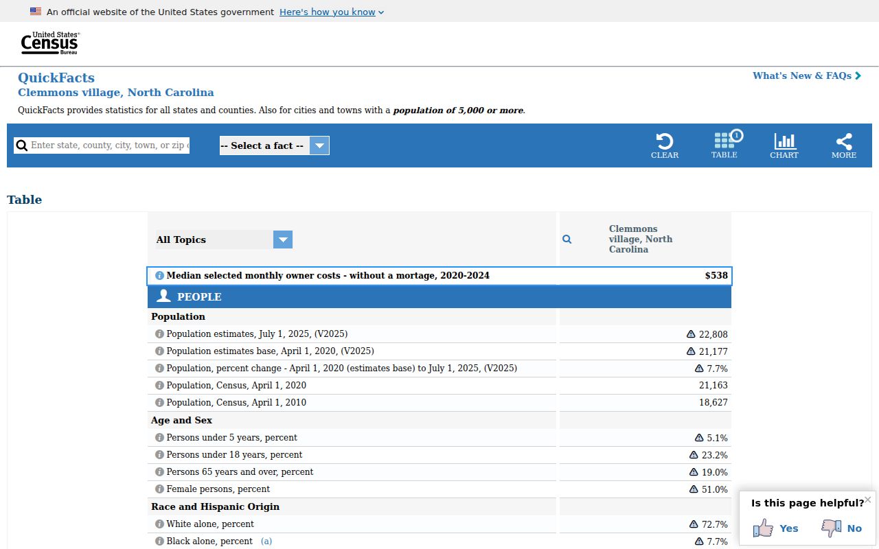
The census display is useful for the scale of the village, while USPS and county parcel records remain the appropriate tools for an individual address.