
Trace a Clemmons Street Address
Begin the street directory process with the exact current address in the Forsyth property search or Tax Parcel Viewer. Confirm the parcel by its situs, shape, subdivision, lot, or legal-description clue. Save the REID or PIN. Then read the owner and mailing address as tax fields, not a declaration of occupancy. From that parcel, the recorded deed can supply a grantor, grantee, recording date, book or file number, and durable legal wording. A library street guide can add a dated historical household clue.
- Enter the current address in Forsyth Tax Administration and capture the situs address, owner, mailing address, REID or PIN, and legal description.
- Open the parcel in the Tax Parcel Viewer. Compare nearby parcel geometry, road names, and lot boundaries before treating an address as the same place.
- Search the owner in the Register of Deeds as grantee and grantor. Match the deed by subdivision, lot, acreage, road, or right-of-way language.
- Use the public voter lookup only as a name-based registration check. It does not offer a public browse of every voter on a street.
- For an earlier period, ask the North Carolina Room for a reverse directory, street guide, newspaper index, or directory year.
Note: A legal description and parcel identifier normally survive address changes better than a street number by itself.
Search Clemmons Streets in GIS
The Forsyth Tax Parcel Viewer has a Search By menu for Owner Name, Parcel Number, REID, Official Address, and Block and Lot. Official Address supports a percent wildcard. The county help example is 1022 % main st, and it advises omitting the street type or abbreviation in that search pattern. Owner search accepts last name followed by first name and partial matches. Parcel numbers use a pattern like ####-##-####.##.
Once a street result is found, use Map Layers and Legend to orient the road. A click selects a parcel, and the triangle control moves among multiple features at one point. Draw and Measure can define a street segment or a buffer. Results can be viewed in a table, exported to CSV up to 1,000 records, or printed as a map report. Those tools create a research set, not a roster of people.
| Viewer control | Clemmons street use | Format or boundary |
|---|---|---|
| Official Address | Find an address or street fragment | Percent wildcard; omit street type in help example |
| REID / Parcel Number | Confirm the property record | Partial parcel route is available |
| Draw or buffer | Select a road segment | Spatial selection, not person search |
| Export | Save selected parcel data | Maximum 1,000 records |
| Print Report | Document map context | Rectangle, coordinates, or buffer |
Use the Forsyth Tax Parcel Viewer help for current controls and search syntax.
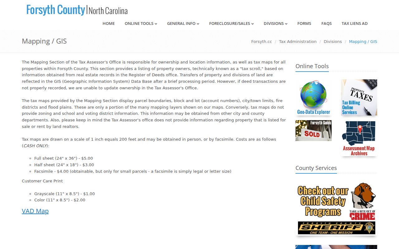
The map should be read with the underlying parcel record and recorded plat when a boundary question matters.
Separate Clemmons Situs and Mail
A street directory search needs two different address fields. The situs or location address identifies the parcel or building. The mailing address is where tax correspondence goes and may be a different street, post office, or state. Neither field identifies every person at the address. Preserve both in notes so a future deed, voter, or historical directory check can be compared without turning a mailing contact into a residence claim.
The property card can also carry a legal description, subdivision, lot or block, acreage, assessment values, classifications, tax jurisdiction, and a deed or sales route. Some live parcel-card labels were not completely captured in research. Confirm the current card before relying on a sketch, photo, or other field that is not documented by the county help materials.
Clemmons Records by Street
Address-keyed records work together when they are kept in their proper roles. Tax Administration ties an official address to parcel identifiers. GIS shows geometry and adjacent lots. The Register of Deeds records legal descriptions and transfers. Village requests can reach permits or code files by address and date range. A library street guide can provide an old address-to-name snapshot. The voter lookup is name based, while a lawful county request can have a defined geographic scope.
| Address record | Clemmons connection | Keeper | Access |
|---|---|---|---|
| Property and tax roll | Owner, situs, mailing, REID, PIN | Forsyth Tax Administration | Public portal and counter |
| Parcel map | Geometry, road adjacency, layers | Forsyth GIS / Tax Mapping | Public Viewer |
| Deed and plat index | Parties, dates, legal description | Forsyth Register of Deeds | Free index; older counter route |
| Voter record | Public registration context | NC Elections | Name lookup or lawful request |
| Permit or code file | Address-specific municipal material | Village of Clemmons | OpenGov when available or request |
Use parcel data to connect the county tools. Use a street name only as a locator, because it can be extended, replatted, or represented differently in old sources.
Follow Clemmons Deed Descriptions
The deed index is the ownership-history layer for a street directory search. Search the current tax owner, open the matching deed, and save the recording date, Code-Book-Page or file number, instrument type, reverse party, description, status, and cross-reference. Then search the seller in an earlier period and match the earlier purchase by the same lot, subdivision, acreage, road, or adjacent-owner clue. This is a parcel chain, not a household list.
Forsyth's index/deed history reaches to 1849, while real-estate images are generally available from 1973. Older entries may require books, microfilm, or counter assistance. Standard and Full Text searches use alphabetic characters without punctuation, while Sounds Like assists with spelling variation. Plats and map categories bridge a legal lot to the modern street grid.
The Forsyth deed-name search supplies the current name, party, and instrument controls.
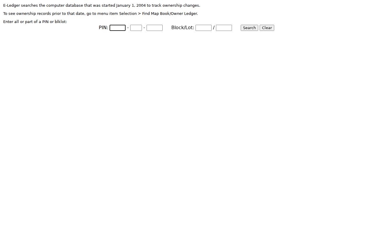
Forsyth e-Ledger begins January 1, 2004 and points older ownership research toward map-book and owner-ledger tools.
Read Clemmons Street Clues
A Clemmons legal description can solve an address mismatch. A sample 1984 Forsyth record for L & B PROPERTIES includes Arden Street Extension, a square-foot figure, and a right-of-way notation. That kind of language can connect a present address to a recorded road extension even if the modern street form does not search cleanly. It is a clue to verify against the lot, plat, parcel geometry, and deed parties.
No official source verified a Clemmons-wide renumbering or road-renaming year. Do not assume one. When an old number does not fit, compare the deed description, plats, tax-map archives, Village agendas, local newspapers, and historical directories. Village maps are useful orientation material, while county GIS is the parcel authority.
- Parcel
- A tax-mapped land unit with a county identifier and geometry.
- Situs address
- The physical location assigned to the parcel or building.
- Plat
- A recorded map showing lots, boundaries, and subdivision layout.
- Criss-cross directory
- A reverse street guide that may connect a past address to a name.
Clemmons Permit Records by Address
Permits, code cases, inspections, and development files can date construction, additions, demolition, or a change in use. Clemmons identifies OpenGov as its permitting and licensing route, but the application displayed a temporary inaccessibility message during the research review. Its live fields, coverage dates, result details, and fees were not verified. Do not treat the portal as a guaranteed public street search until it is operating and its current controls can be inspected.
The fallback is the Village public-records request form. Give the address, parcel or lot if known, date range, department, and document type. The Village Clerk can route a precise request to the office that created the record. The form includes a view-or-copy choice and published copy charges, but current procedures should be checked with the Village.
Use Clemmons Street Guides
Historical reverse and criss-cross directories supply the address-to-name layer that current parcel records do not provide. Forsyth County Public Library holds directory collections, street-and-avenue guides, microfilm, and a five-paper newspaper index. A 1904-05 Walsh directory includes name, spouse in parentheses, occupation, residence marker, street number, and section code. Later telephone material can include a street guide. Each is a dated publication rather than a current official record.
Rural Clemmons coverage can be incomplete because the directories center on Winston-Salem and Forsyth County. Search nearby community or post-office names as well as Clemmons. The Clemmons city directory explains the collection years, publishers, entry abbreviations, and library routes in detail.
Export a Clemmons Street Set
The Tax Parcel Viewer can show selected features in a table, calculate statistics, create a CSV, and print a report. Mailing Labels can create CSV or PDF output for a selected area. Those outputs are map or mailing tools. They should be treated as parcel research documents, not a directory of occupants. The Viewer limits exports to 1,000 selected records, and label output can split into multiple pages.
Tax Mapping also offers paper maps with stated fees. A dated printout with its source URL, selected geography, and parcel identifiers makes it easier to repeat a Clemmons street search when the live map changes.
Open the Forsyth Tax Mapping page for its current map and contact information.
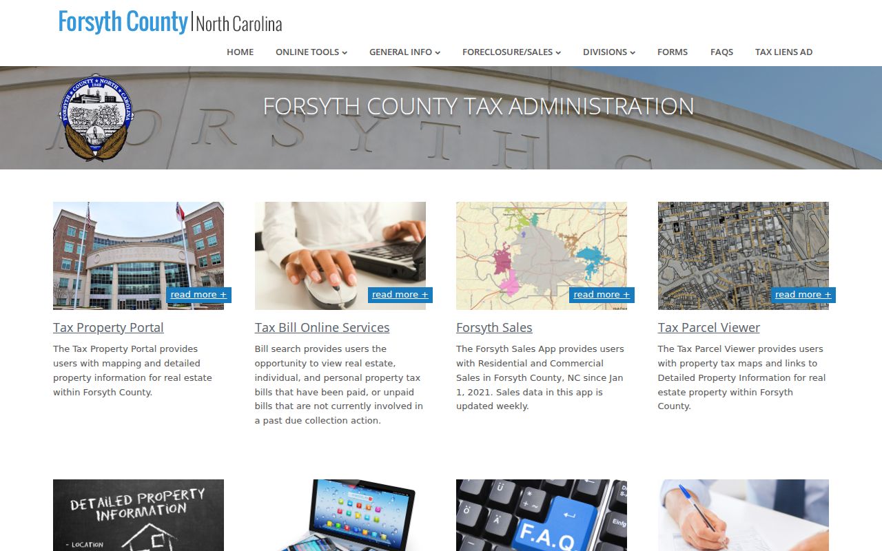
The Tax Administration page connects the street-directory workflow to county property, map, and tax tools.
Limits of Clemmons Street Directory
A parcel result names a recorded tax owner, not all residents, guests, or people receiving mail. A voter result covers registered voters and lawful public fields, not every person at a street address. DMV address data is restricted by federal law. Utility and delivery records are not public resident lists. Protected voters may use substitute or protected information, and court, vital, juvenile, adoption, sealed, and expunged records can be withheld.
Keep the claim narrow: a parcel, deed, voter entry, permit, or historical directory line confirms only what that record actually says. A blank street-guide entry does not show that a parcel was empty. A mailing address does not prove where an owner lives.
Lawful use. Clemmons street and address records support lawful personal research, family history, property context, and civic questions. Do not use them to stalk, harass, intimidate, or harm any person.